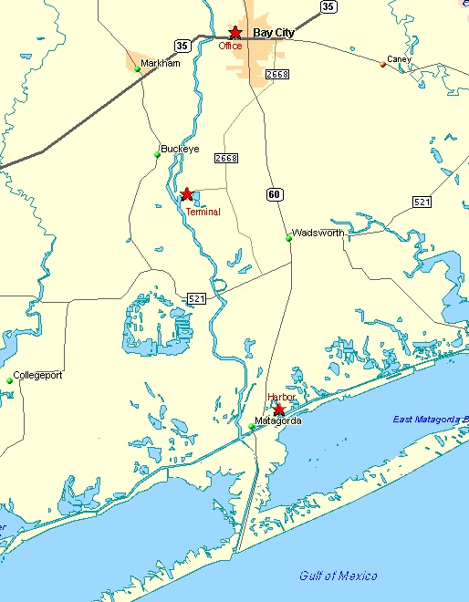
Navigation up the Colorado River is covered by NOAA chart 11319, “Intracoastal Waterway-Cedar Lakes to Espiritu Santo Bay.” The port turning basin and port terminal are 15 miles upriver from the locks at the Intracoastal Waterway.
By road, the port terminal is located at the end of FM 3057. As you leave Bay City headed south on Highway 60, turn right (southwest) on FM 2668. Then turn right (west) on FM 3057 and go to the end.